By Marty Mayfield
KRTN Multi-Media
Downtown Raton hit a record high of 101° this year preceded by a 100° degree day on July 26th something that hasn’t been seen in Raton.
This year’s highs are the 5th 100 degree day in Raton since June 1998 when Raton hit 102° on June 28, that year and in 2003 a 100° high was recorded on July 13 and again in 2020 the record high hit 101° on July 10. These are unofficial high temperatures by National Weather Service standards since they were recorded with unofficial weather instruments.
While 100 degree temperatures in Raton are rare, record highs for June, July and August are all in the 90 degree range. As the chart shows this year was one of the warmest July’s with 24 days above 90° and 14 days straight with a high above 90°. Four of those days broke records with highs of 97° on the 24th and 28th and 100° on the 26th and 101° on the 27th. That makes July the warmest month in Raton with four days of record highs above 100°.
The KRTN State Street studio is the site of the official NWS recording weather station in Raton and as it sits at a lower elevation than downtown Raton and with less concrete and buildings around it, it often records lower temperatures than other sites in town. During the winter months temperatures can be as much as 10 degrees warmer in the downtown area versus the radio station’s location.
Raton Crews Field Airport is another NWS official reporting station where the weather service has placed its certified weather instruments. The readings there are often used in pilot briefings for pilots who fly into the Raton airport.
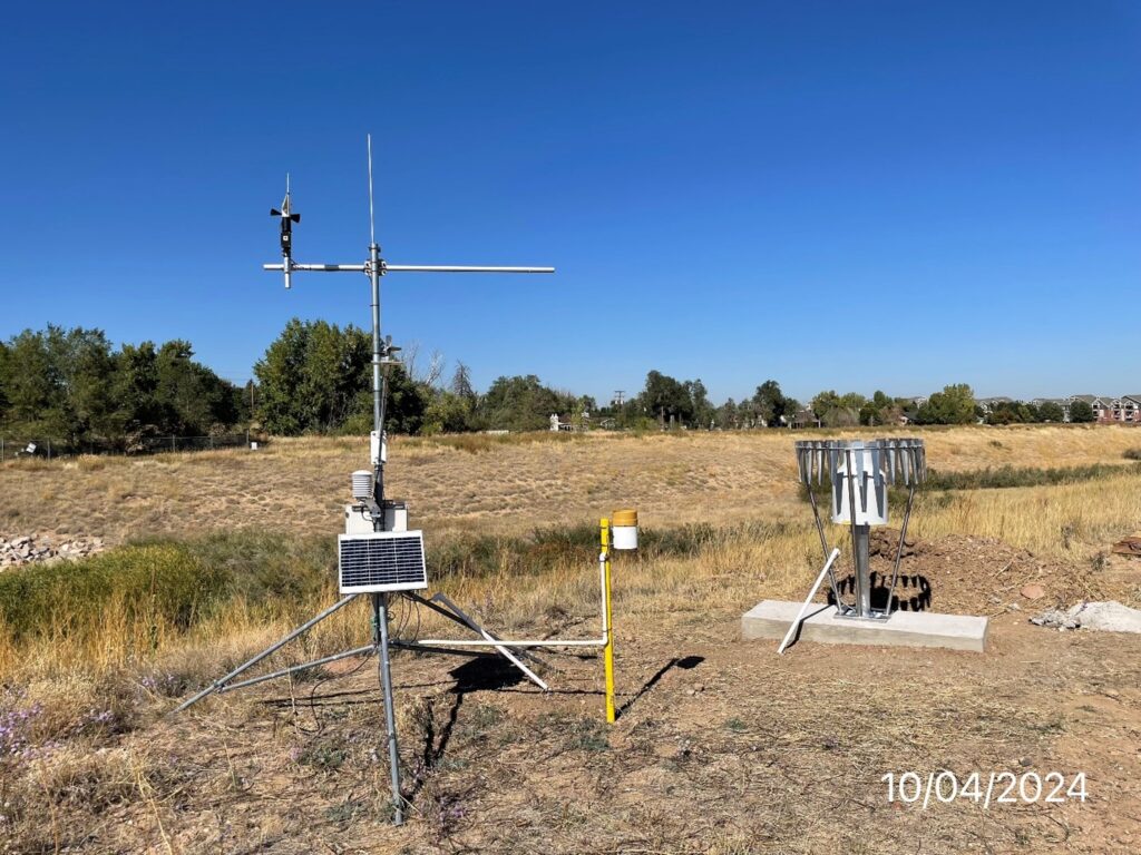
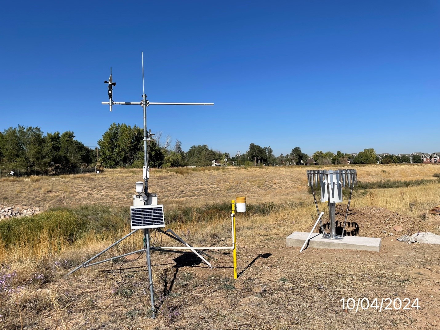
Another weather service that has popped up more predominately in the last few years is the MesoNet organization which began as a project by the University of Oklahoma and Oklahoma State University. New Mexico State University has established a mesonet network in New Mexico called the ZiaMet. The URL for the NMSU MesoNet web site is https://weather.nmsu.edu/ . This information is from the NMSU Mesonet website “The ZiaMet Weather Station Network is a state-wide mesonet that monitors surface weather conditions and sub-surface soil conditions. The network first began operations in 1985 and was maintained with minimal external sponsorship. By 2015, the NM Climate Center was able to secure sponsorship from the National Mesonet Program, and this was the year we began using the ZiaMet moniker.” Many state universities are associated with the MesoNet network providing much more local data than the NWS has been able to do.
Another national organization is an organization called “CoCoRaHS is an acronym for the Community Collaborative Rain, Hail and Snow Network. CoCoRaHS is a unique, non-profit, community-based network of volunteers of all ages and backgrounds working together to measure and map precipitation (rain, hail and snow). By using low-cost measurement tools, stressing training and education, and utilizing an interactive Web-site, our aim is to provide the highest quality data for natural resource, education and research applications. We are now in all fifty states.” Visit their web site at https://www.cocorahs.org/Content.aspx?page=aboutus to learn more about the organization.
| Year | July Highest | Date Occurred | Days Above 90 | Days Above 100 | Consecutive Days above 90 | August Highest | Date Occurred | Above 90 | |
| 2026 | 101 | 27-Jul | 24 Days | 2 Days | 14 Days | ||||
| 2025 | 93 | 9-Jul | 9 Days | 3 Days | 94 | 6-Aug | 9 Days | ||
| 2024 | 96 | 28-Jul | 11 Days | 4 Days | 96 | 17-Aug | 14 Days | ||
| 2023 | 99 | 18-Jul | 16 Days | 4 Days | 96 | 5-Aug | 15 days | ||
| 2022 | 96 | 23-Jul | 12 Days | 6 Days | 92 | 7-Aug | 8 days | ||
| 2021 | 96 | 9-Jul | 4 Days | 0 Days | 94 | 24-Aug | 12 Days | ||
| 2020 | 101 | 10-Jul | 13 Days | 1 Day | 6 Days | 97 | 14-Aug | 17 Days | |
| 2019 | 98 | 20-Jul | 16 Days | 6 Days | 97 | 25-Aug | 16 Days | ||
| 2018 | 98 | 22-Jul | 14 Days | 5 Days | 92 | 4-Aug | 7 Days | ||
| 2017 | 96 | 12-Jul | 13 Days | 5 Days | 88 | 18-Aug | 0 Days | ||
| 2016 | 98 | 21-Jul | 20 Days | 9 Days | 89 | 9-Aug | 0 Days | ||