by Tom Macedo
 ANGEL FIRE/ TAOS — Most Coloradans are at least familiar with the term 14ers. For those who aren’t, 14ers are mountain peaks that rise above 14,000 feet in elevation.
 The 54 in Colorado present a challenge to those hardy souls who seek to conquer the tallest of the tall. For others, a rewarding hike has less to do with the elevation of the climb and everything to do with the quality of the trek.
And so it was with that in mind I made my way to New Mexico to hike to the top of its tallest mountain: Wheeler Peak.
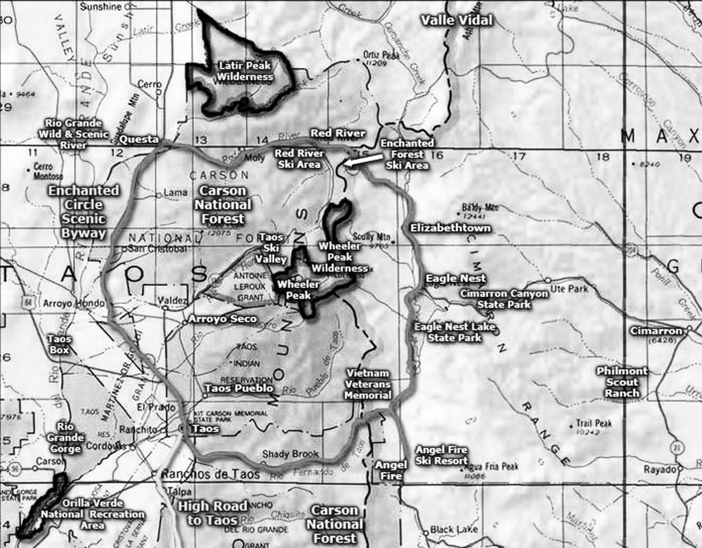
Located northwest of Angel Fire and northeast of Taos, Wheeler Peak is at the center of the Enchanted Circle scenic byway, which goes through mountains, mesas, valleys and national forests in north central New Mexico.
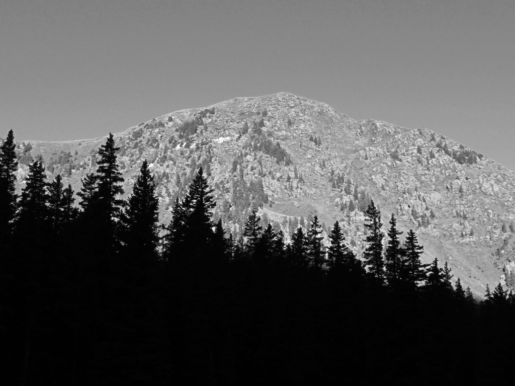
Wheeler Peak is not a 14er (New Mexico has no 14ers), but it does stand tall at 13,161 feet. The mountain exists within the 19,661 acre federal wilderness area that was given its name.
Wheeler Peak Wilderness was established in 1964, and protects not only Wheeler, but a number of other dramatic peaks, lakes, and valleys in a wild and pristine area that abuts the large and busy Taos Ski Valley. One of the two trails that head to Wheeler Peak originates at the edge of the Taos ski area near the Bavarian Lodge. Not counting the walk from the parking area to the trailhead, the Wheeler Peak Summit Trail (#67) is 4.1 miles one way.
This doesn’t sound like such a long trail, but what it lacks in length, it makes up for in steepness. The first two miles of the hike are actually the Williams Lake Trail (#62) and are a relatively easy hike starting at 10’200 feet and ending at 11,100 feet. It’s later when the hike gets tough.
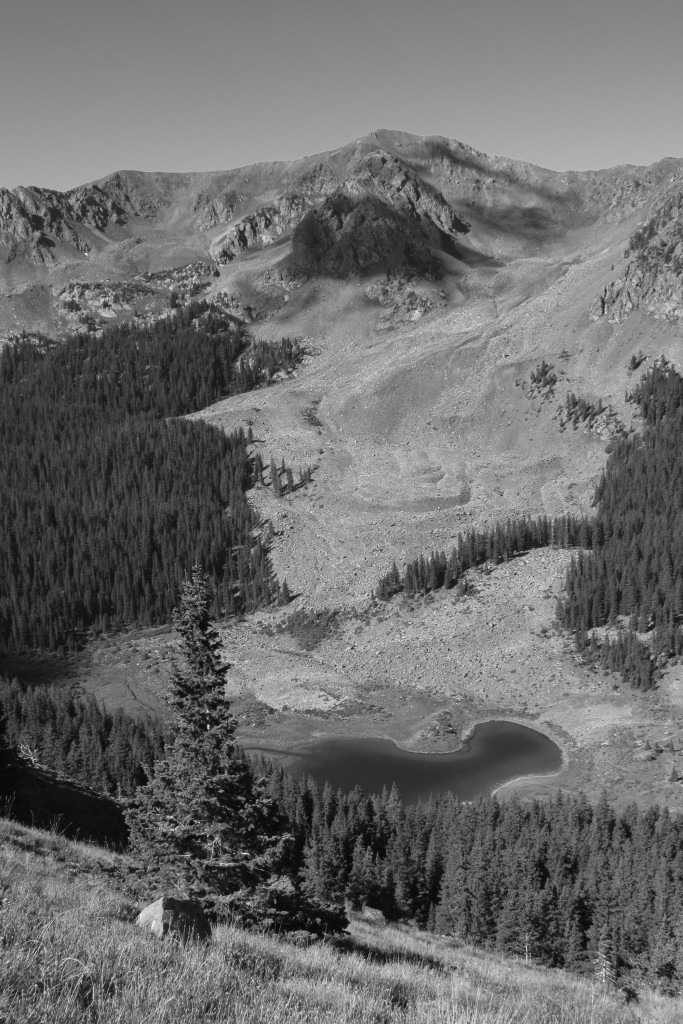
The first stretch of the trail meanders through a spruce-fir forest that is characteristically dense and dark with few understory plants. The forest opens up at a few points as the trail passes large lichen-covered rock fields where the first good views of some of the surrounding peaks are offered. At mile two a sign post shows that the hike to Wheeler Peak continues to the left and Williams Lake is off to the right. It is certainly worth heading the very short distance to view the lake, take a break and view the reflections of mountain tops in the water.
From the sign post, the Wheeler Peak Summit Trail steepens (and doesn’t let up) as it cuts through the Englemann spruce and subalpine fir trees to a point where conditions are no longer favorable for their growth. Here, the environment is too high, too windy, and too cold for trees to thrive. Here is also where the sublime beauty of the hike becomes evident as the trail continues its ascent and skirts the mountainside. A huge, mountain peak-rimmed bowl (carved by glaciers that retreated 10,000 years ago), comes into full view. The hiker is treated to this scenery all the rest of the way to the top of Wheeler.
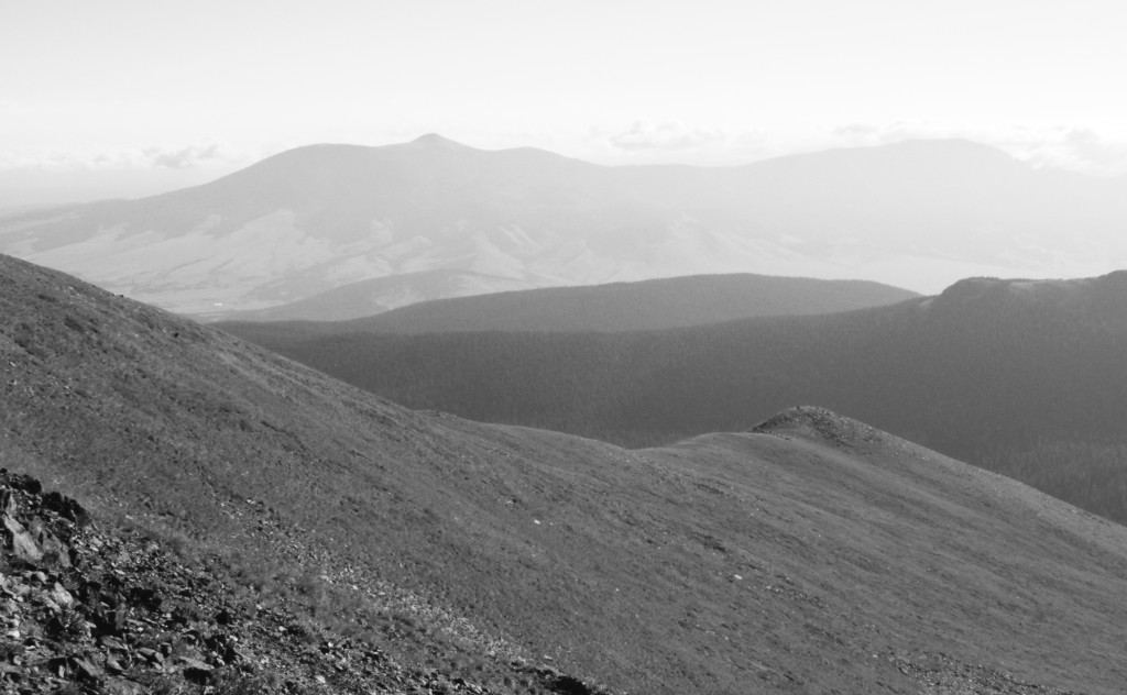
In this alpine region animals abound: Bighorn sheep—accustomed to hikers—lay chewing their cud and ignoring trekkers, chubby marmots whistle as they scurry about or lounge on large rocks as they nosily watch the passers-by and chirping picas nervously skitter away from hikers and birds of prey soaring above. It is quite something to witness all this activity just as it is good to have the diversion as you take a break from what now seems like a relentless climb. As the trail nears its terminus, it gets tough over fields of scree — loose rocks which need to be crossed over carefully—until the climb finally evens out at the saddle that connects Wheeler to other peaks. Here hikers can catch their breath as ironically they get to view a breath-taking panorama: a 360 degree view of peaks near and far, lakes and a verdant valley far below the saddle, and to the right—just a short distance away—13,161 foot Wheeler Peak. This is definitely a 13er worth experiencing.
Information about this trail and others in the Wheeler Peak Wilderness can be accessed through the Carson National Forest website. Trail maps are available for free at the Visitor Center at Taos Ski Valley.
