
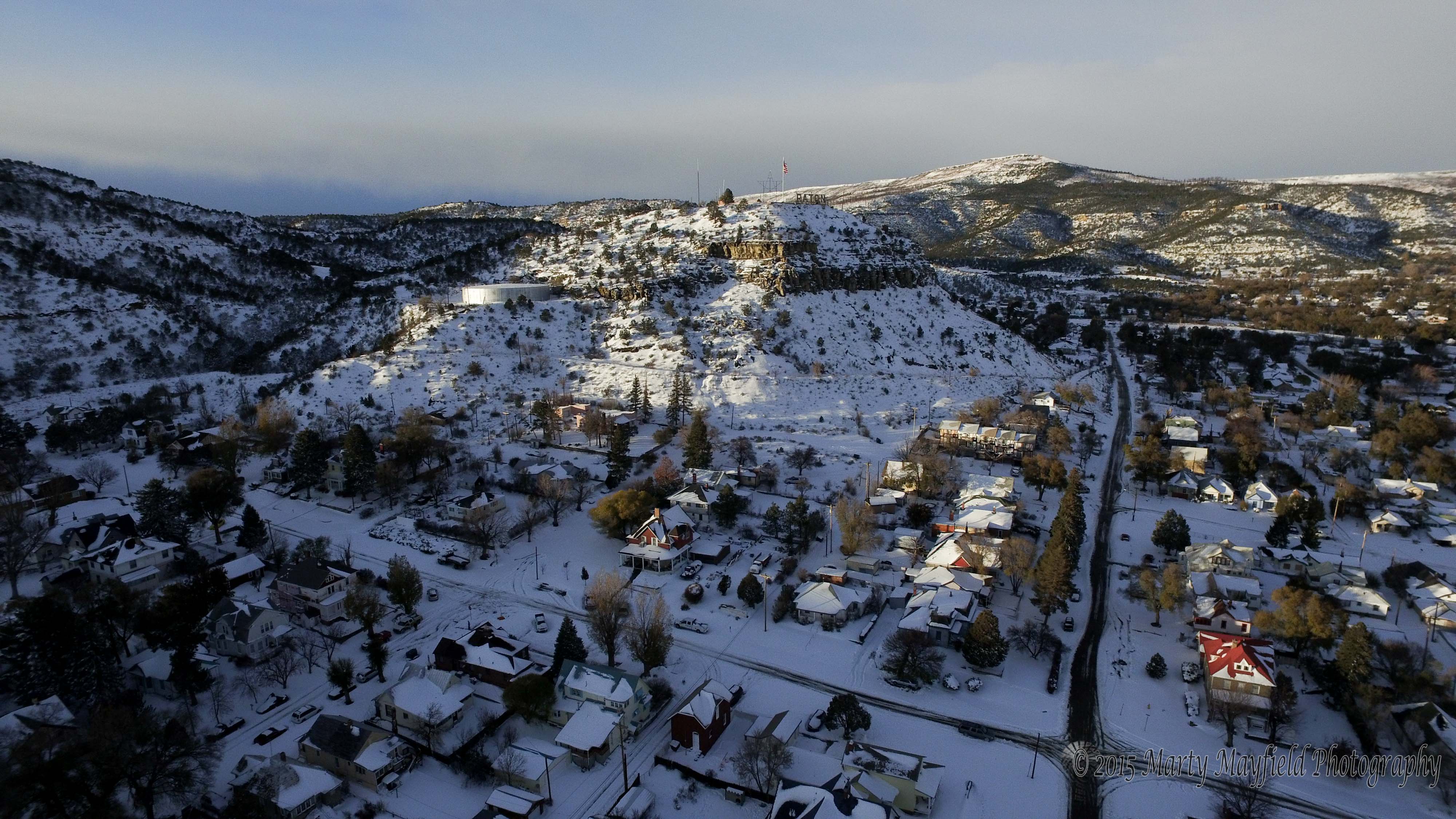
by Bill Knowles WALSENBURG,TRINIDAD, RATON — A powerful winter blizzard steamrolled in Monday evening, dumping anywhere from six inches to two feet of heavy, wet snow, causing authorities to close down highways, governments, and schools. Drifts as high as eight feet on the New Mexico side of Raton Pass left truckers, busses, and even state patrol and snow plows scrambling to dig out. The season’s first big snowfall also caused power outages and power surges across Huerfano and Las Animas Counties, including the cities of Walsenburg and Trinidad.
The Colorado State Patrol, Colorado Department of Transportation, Las Animas County Sheriff’s office, and Emergency Management, the Combined Courts, the City of Trinidad Police, and the school districts were not answering their phones as offices are either closed or emergency response personnel were busy with the effects of the late fall snow storm.
The same was also happening in Huerfano County as the area recoiled from the ferocity of the winds that drove the storms down the Front Range and out onto the plains, causing cars to veer off of highways while near whiteout conditions built to blinding intensity from blowing snow.
Highways and roads closed in Las Animas County included Colorado Highway 12, east Highway 160, Highway 350, and county roads. Raton Pass south of Trinidad was confirmed to remain closed all of Tuesday. Closures in Huerfano County included all county roads, Colorado Highway 12, Colorado Highway 69, Colorado Highway 160, and Colorado Highway 10.
The storm slammed into southern Colorado early Monday evening, with winter weather conditons posted throughout most of Tuesday. The regional manager at the Colorado Department of Transportation’s Communication Center in Pueblo, Ray Eccher, said it wasn’t the snowfall but the high winds that caused the serious problems. When contacted on Tuesday, he said “Right now we are having a hard time getting snow plows to the top of Raton Pass at mile marker 2. We estimate that there are three foot to four foot drifts (on Interstate 25), we can’t break through because the wind keeps piling it (the snow) up again.” Later reports claim the snow was drifting up to eight feet deep on the New Mexico side of the pass.
CDOT estimates the number of vehicles stranded along I-25 from Colorado City south to the New Mexico border as “a bunch,” with a count of stranded and wrecked vehicles still coming in as of Tuesday afternoon. “The wind caused a lot of drive offs on the interstate and other highways,” Eccher said. “At mile marker 23 near the Hoehne exit, there were two buses stranded along with quite a few cars that were able to exit the interstate but couldn’t get back on.” High wind warnings were still in effect for Tuesday, Eccher said.
Blizzard warnings were extended for Huerfano County and Las Animas County until Tuesday afternoon, along with high wind warnings as the storms moved to the east into Bent County and Kiowa County. Blowing snow warnings were also in effect for all areas of Southern Colorado during the early part of the week.